Oliver Springs Airport
Braden Field
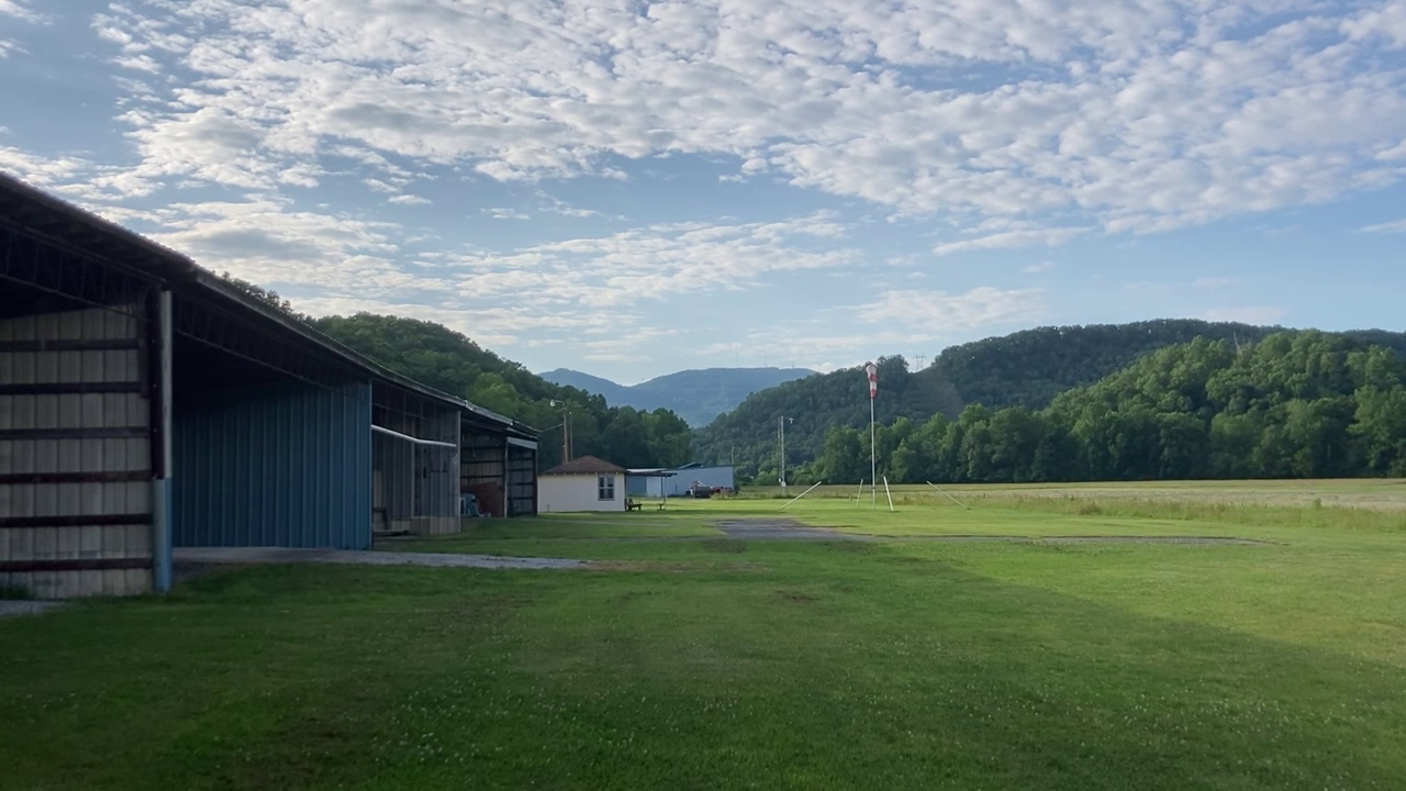
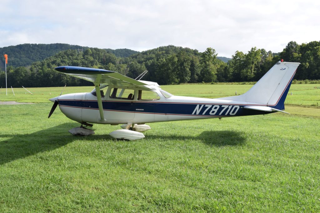
Oliver Springs Airport is a private-use, general aviation airport nestled in the foothills of the Smoky Mountains at the foot of Windrock Mountain in East Tennessee. Located on the Braden Family Farm, the airport has been in continual operation since 1948. The airport is home to two flying clubs: The Flying 64th and The Oak Ridge Flyers.
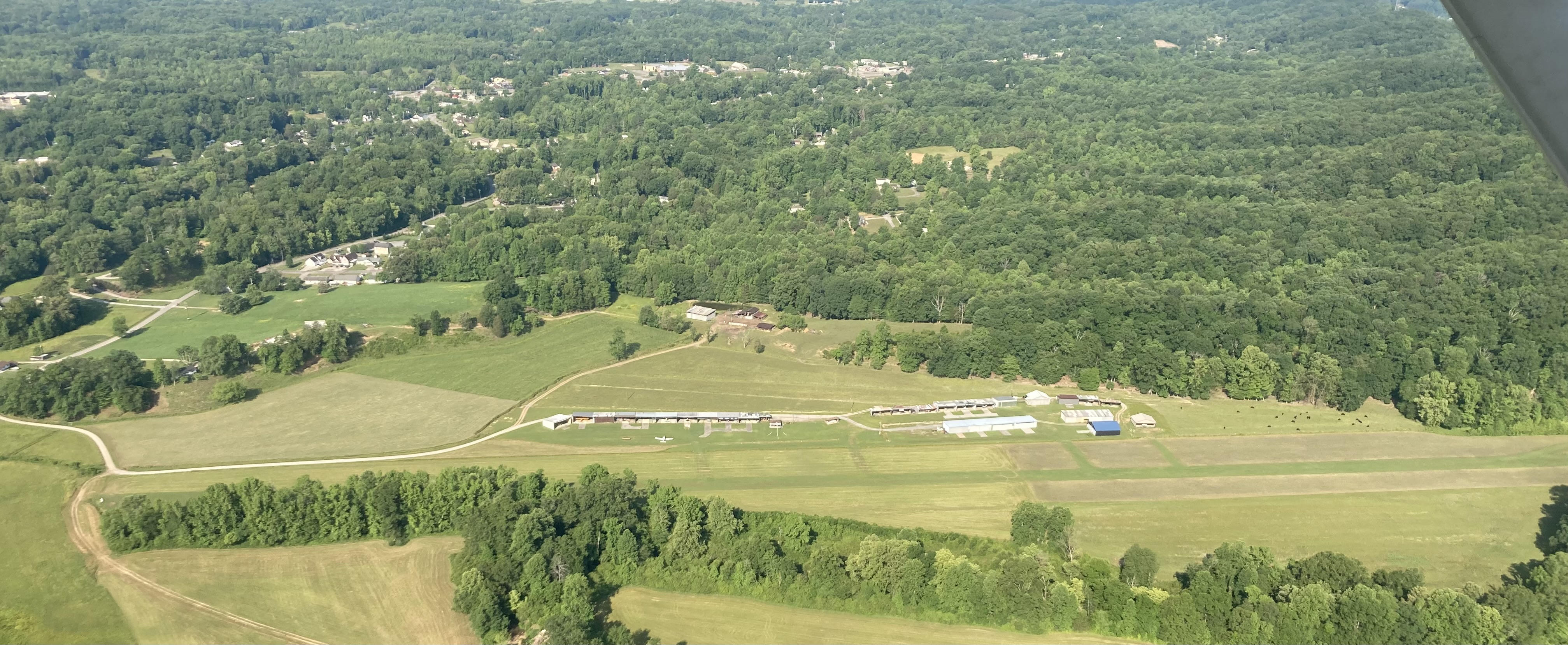 Left Downwind Runway 15
Both runways at Oliver Springs Airport provide a unique aviation experience. You’ll often find turkeys and deer on the runways and taxiways. The airport is located on an active farm and the fields on both sides of the runways are used for growing hay. The fields are typically mowed and baled twice a year, so there are few days where the hay bales line the runways.
Runway 15 (LP) - Preferred
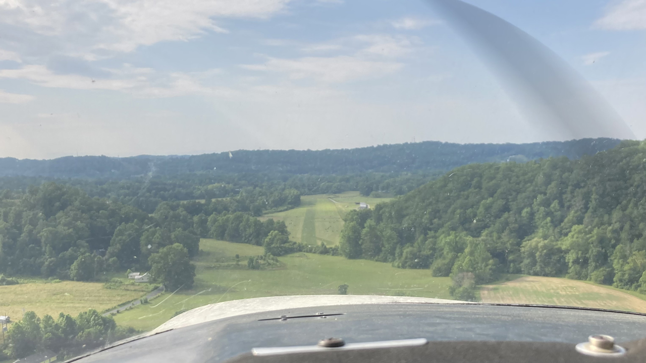
The preferred, calm wind, runway is runway 15. On departure from runway 15 you cross over small ditch at the end of the runway before crossing trees and a powerline. Eventually you’ll need to climb over a small ridgeline. Landing on runway 15 provides even more excitement. On your downwind, you’ll fly parallel to a transmission line and over a small ridge before turning base. You can use the wind turbines on Windrock Mountain as visual. The approach end of runway 15 is not visible until you turn final. It’s best to stay at the pattern altitude of 1,800 feet until you turn final. A fence row with trees provides the theoretical 50-foot object to clear before you touchdown.
Runway 33 (LP)
Runway 33 is quite the opposite (literally) of runway 15. On departure you’ll need to climb out between two small ridges before making your left crosswind turn to avoid Windrock Mountain in the distance. Landing on runway 33 provides a pretty straightforward pattern and soft field landing crossing the same powerlines that you’d cross if departing on runway 15.
